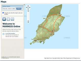
The ecclesiastical parish in which any location in the Island falls can now be ascertained online through the Isle of Man Government website HERE or by simply clicking on the images below,
This information can be accessed in one of 2 ways.
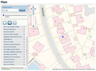
(1) Enter the address or postcode in the “Address Search” box and click “Search”. A large-scale map of the location will appear with the address in a pop-up box. The address also appears in a box on the left: cancel that box by clicking on the “x”.
(2) Alternatively, find the location on the map, and drag the blue pin to it. Then click on “My C of E Parish” as above.
Whichever method you use, the area of the parish is now coloured pink on the map.
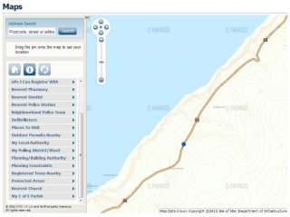
The entire parish can be shown by reducing the scale of the map (click on the “-” sign on the scaling tool, or place the cursor on the map and turn your mouse-wheel backwards).